Condensed Geology: Arches, Utah ![[Map] Arches NP [Map] Arches NP](../../web/worldmap.gif)
Geology of Arches is defined by sandstone fins, forming at the top of a salt and gypsum anticlines.
Condensed Geology: Arches, Utah ![[Map] Arches NP [Map] Arches NP](../../web/worldmap.gif)
Geology of Arches is defined by sandstone fins, forming at the top of a salt and gypsum anticlines.
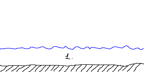 Figure 1 500-280 MYA. Utah is covered by sea (1) that becomes isolated and hypersaline toward the Pennsylvanian. |
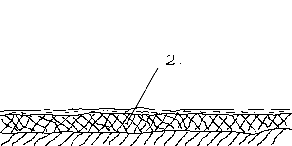 Figure 2 280 MYA. The sea evaporates during the Pennsylvanian; a thick layer of salt and gypsum (2) is deposited and covered by other sediments. |
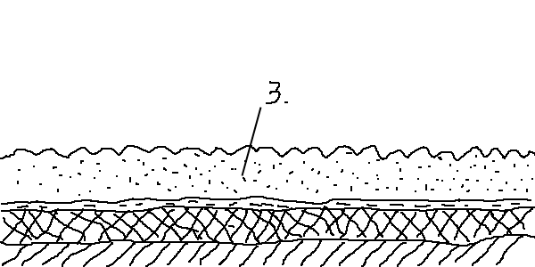 Figure 3 250-150 MYA. A series of huge deserts cover Utah with windblown sand, depositing thick layers of sandstone (3) during Triassic and Jurassic. |
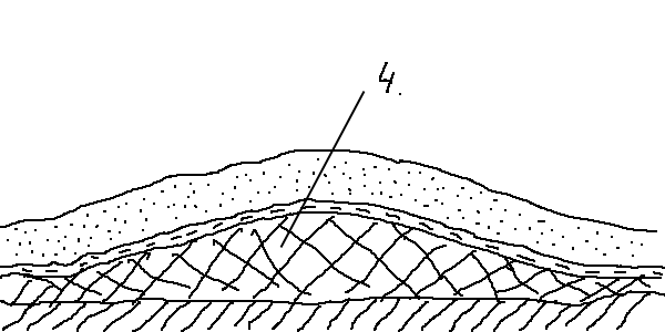 Figure 4 50(?) MYA. Under the pressure of overlying rocks the salt and gypsum flow to where the overburden is locally thinner, forming anticlines (4) and doming the sandstone. |
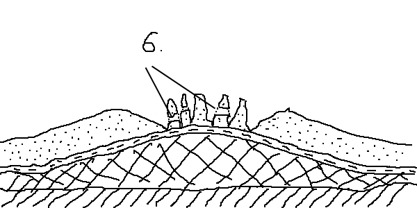 Figure 6 Today. Erosion deepens the cracks, forming rows of parallel sandstone fins. In some places the central portions of the fins are eroded (6) forming windows and arches. |
Halka Chronic Roadside Geology of Utah (Roadside Geology Series) Mountain Press Publishing Company, 1990, ISBN: 0-87842-228-5
© October 28, 2014, Yuri Wolf / YuriKira.com